Minneapolis, MN to Niagara Falls, NY: distance, drive time and fuel
It is about 891 miles from Minneapolis, MN to Niagara Falls, NY, which is roughly 14 hr 9 min behind the wheel. Everything below is an estimate — see how it is worked out at the bottom of the page.
Estimated road distance
891miles
1,435 km
- Drive time
- 14 hr 9 min
- Average speed
- 63 mph
- Fuel cost
- $111
- Fuel used
- 35.1 gal
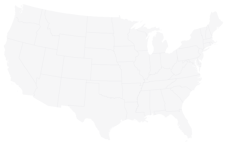
Cities along the way
Places within about 25 miles of the route from Minneapolis, MN to Niagara Falls, NY, in the order you would reach them.
- Woodbury, MN16 mi
- Merrill, WI204 mi
- Alpena, MI592 mi
What the drive from Minneapolis to Niagara Falls is like
A straight line between these two places crosses open water, so the road cannot follow it. The distance here is measured round by the Upper Peninsula and the Mackinac Bridge and Mackinac Bridge, which is the way the highway network actually goes.
The route runs from Minneapolis, MN to Niagara Falls, NY, crossing 3 state lines — Minnesota, Wisconsin, Michigan and New York. Speed limits and everyday driving rules are set state by state, so what is posted can change as you cross. At roughly 14 hr 9 min of driving this is a multi-day trip for anyone driving alone. Planned as two or three stages it is a genuine road trip; attempted in one push it is a bad idea.
There are 3 towns of any size close to the line between the two cities, the first being Woodbury, MN at about 16 miles in. That matters mostly for where you can stop: on a 14 hr 9 min drive the useful question is not how far it is but where the fuel, food and daylight run out.
The route also crosses a time-zone boundary, so the clock at the far end is 1 hour ahead the one you set off with. Arrival times booked at the destination are in local time, which is the part people get wrong.
Flying this route saves about 10 hr 13 min door to door once airport time is counted, so the drive is a choice rather than the obvious option — worth it if you want the car at the other end, or if you would rather see the 891 miles than sit them out.
What the fuel works out at, and what that figure assumes
891 miles at 25.4 miles per gallon is about 35.1 gallons, which comes to roughly $111 at $3.15 a gallon. Split between four people that is about $28 each, which is the comparison worth making before you look at a flight price rather than after. Two figures in that sentence are assumptions rather than facts about your trip: the price per gallon, reviewed 2026-08, and the consumption, which is a US fleet average. Both are published with the rest of the method under fuel cost assumptions.
The size of that assumption is easy to see on this route. A fifty-cent move in the pump price either way changes the total by about $17.55 — so read $111 as the middle of a range from roughly $93 to $128, not as a quote. A car that does noticeably better or worse than 25.4 mpg shifts it further, and neither figure includes tolls, which are charged on a good deal of the interstate network in the northeast and on individual bridges and tunnels elsewhere. Nothing on this page knows which tolls apply to a particular route, so none are counted.
For the same reason the 312 kg of CO₂ this drive implies is arithmetic on the fuel rather than a measurement: 35.1 gallons of gasoline at the EPA's figure of 8.89 kg per gallon. It is useful for comparing this route against flying it, or against a longer way round, and not useful as an absolute number.