Driving to Charlotte Douglas Airport: access roads and drive times
6 min read
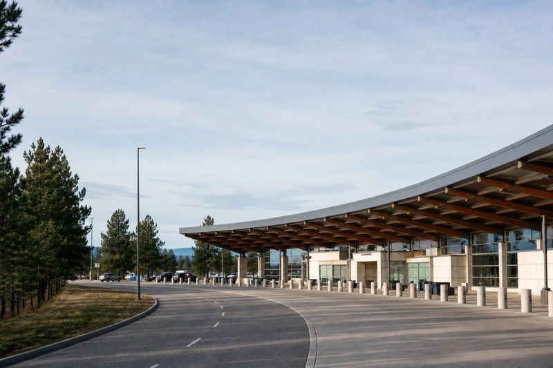
Charlotte Douglas International Airport (CLT) sits about 8 miles by road from downtown Charlotte, NC — roughly 16 min of driving, or 5.7 miles in a straight line.
Charlotte is one of the busiest airports in the country and one of the easiest large ones to drive to. Those two facts sit together comfortably because most of the people inside the building never touch the roads outside it — they are changing planes. For anyone actually driving here, the airport behaves like a much smaller one.
Getting there by road
The airport is close in, a short distance west of uptown, and it is fed by the interstates that cross Charlotte. One runs northeast to southwest past the northern side of the airport; the other is the main north–south route through the region a little to the east. A parkway links them and carries traffic round to the airport entrance, and a dedicated access road leads from there to the terminal.
The route is short and unambiguously signed. The variable is the same one as everywhere: time of day. Charlotte’s interstates are busy in the morning and from mid-afternoon onward, and they have been under widening and reconstruction for years, so lane closures are a normal part of the landscape. The outer loop around the metro is useful if you are coming from the far side of the city and would rather not go through the middle.
Because the distance is genuinely short, congestion here costs you less in absolute terms than it does at an airport twenty miles out. That is the underrated advantage of the location.
Which approach makes sense depends heavily on where you start. From uptown and the eastern side of the city, the direct run west is obvious. From the southern suburbs and from South Carolina, the airport is on your side of town and you never need to go near the center. From the north and the northeast, the outer loop around the metro usually beats cutting through, particularly during the afternoon peak. And from the western suburbs the airport is essentially a local errand.
One terminal, several concourses
There is a single terminal building. Lettered concourses radiate from a central atrium behind security, and that is the whole layout.
For a driver, this removes the most common source of airport stress. You do not need to know which terminal your airline uses, because there is only one. You cannot pull up at the wrong building. The signage on the approach points to departures and arrivals, not to a set of letters you have to match against a booking confirmation.
The concourses themselves are large — the airport handles a lot of connecting traffic and is built for it — so the walk from the front door to a far gate is not trivial. But it is a walk, not a train ride and not a bus, and it all happens inside security.
Parking
A deck sits close to the terminal for short stays, daily parking is a little further out, and long-term lots connect by shuttle bus.
The usual cost-versus-walking trade-off applies, but the spread is narrower here than at the sprawling airports. Nothing is truly remote, and the shuttle ride from the long-term lots is short. If you are leaving the car for a week, the outer lots are the obvious choice and you give up very little. For a same-day drop-off, the close-in deck is fine.
Drop-off and pickup both happen on the terminal roadway, split between departures and arrivals in the normal way. It is a short frontage for a busy airport, so it backs up during the surges that follow the hub’s arrival and departure banks. If you are collecting someone, waiting away from the curb until they have their bags is easier than circling — and unlike at the sprawling airports, there is not much of a lap to make.
Rental returns are worth a moment of planning too. Wherever you are handing a car back, the sequence before a flight is drive, return, then get to the terminal, and each of those steps takes time you did not spend on the road. The compactness of this airport keeps that shorter than at most hubs, but it is not nothing.
The alternative to driving
There is a city bus link between the airport and the center, which does the job if you are traveling light and staying uptown. Charlotte’s light rail line does not reach the airport.
That means the honest answer for most visitors is that you drive, or someone drives you. It is not a problem — this is a short, straightforward trip — but it is worth knowing before you plan around a train that does not exist. If you want the wider picture of getting around the city itself, the Charlotte page has distances from everywhere else.
Driving in from further out
Charlotte serves an unusually wide catchment for its size, because the nonstop network here is better than almost anything else in the Carolinas. Hickory, Rock Hill, Winston-Salem, Greensboro, Spartanburg and Greenville are all close-range drives. Columbia, Raleigh, Asheville and Knoxville are all comfortable single-day trips.
For travelers in those cities the arithmetic is often straightforward: two or three hours on the interstate against a connection at a hub they would rather avoid. Because the airport itself is easy to reach and close to the interstate network, the drive is usually the whole of the extra effort — there is no long airport approach tacked onto the end of it, which is not true of every hub.
Two things to watch on those longer runs. The interstates radiating from Charlotte have carried major construction for years, so a route that ran cleanly last year may not this year. And the mountain approaches from the west cross real terrain, where fog and winter ice arrive without much notice. If you are working the timings out for yourself, the distance table below covers the driving half, and the airport guides cover the alternatives on the same basis.
Driving to CLT from nearby cities
Estimated road distances and drive times to the terminal area. Add your own margin for parking, the shuttle and check-in — these figures cover the drive only.
| From | Distance | Drive time |
|---|---|---|
| Charlotte, NC (downtown) | 8 mi | 16 min |
| Gastonia, NC | 19 mi | 30 min |
| Huntersville, NC | 20 mi | 32 min |
| Rock Hill, SC | 25 mi | 39 min |
| Concord, NC | 30 mi | 47 min |
| Kannapolis, NC | 32 mi | 50 min |
| Hickory, NC | 49 mi | 59 min |
| Winston-Salem, NC | 84 mi | 1 hr 41 min |
| High Point, NC | 85 mi | 1 hr 42 min |
Every figure here is an estimated road distance, worked out the same way as the rest of the site — how the estimate works. Distances in kilometers: downtown Charlotte, NC is about 13 km away.