Driving to Orlando International: toll roads and where to park
6 min read
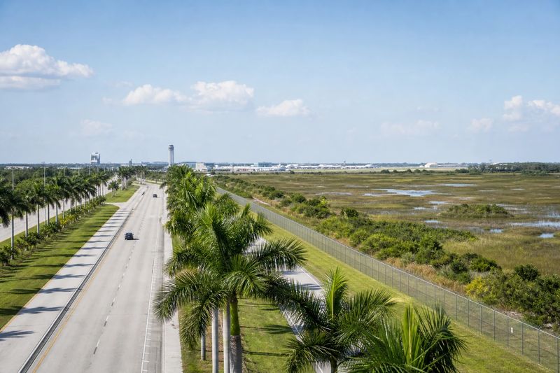
Orlando International Airport (MCO) sits about 12 miles by road from downtown Orlando, FL — roughly 24 min of driving, or 8.7 miles in a straight line.
Orlando International is a large airport with an unusual problem for drivers: it has two front doors on opposite sides of the airfield, and most of the roads leading to them are toll roads. Neither is difficult once you know, and both are annoying if you do not. Sort out your terminal and your tolls before you turn the key.
Getting there by road
The airport sits southeast of downtown, and the fast routes in are expressways. One runs east to west, connecting the interstate through the middle of Orlando with the coast and passing the airport on the way. Another is the north–south expressway on the eastern side of the metro. Both are tolled. There are untolled surface roads as well, and they are perfectly usable, but they are slower and they carry local traffic and traffic lights.
The tolls matter more than the amounts, because much of the system is electronic only. There is often no booth to stop at: the charge is read from a transponder or from your license plate and billed later. Rental drivers should establish how the company passes those charges on before setting off — the administration fee per transaction is regularly bigger than the toll itself.
Traffic-wise, the airport is well insulated. The expressway approaches move. The congestion is where you would expect it: on the interstate through the center at the peaks, and in the resort corridor southwest of the city, especially on Saturdays when vacation rentals turn over.
Terminals: the thing to get right
The original terminal complex is on the north side of the airfield: a single large building split into an A side and a B side, each with its own curbside and check-in area.
Terminal C is a separate building on the south side, opened later, with its own approach roads and its own garage.
These are not two halves of one loop road. They are separate destinations reached from different directions, and the drive between them is a proper detour. Check which terminal your airline uses on your booking, not from memory, and set your navigation to that terminal specifically rather than to the airport.
Moving between them
An airport train connects the north complex and Terminal C, and it is the normal way to make the transfer on foot. It works well, but it is a real leg of the journey — allow for it.
Within each terminal, automated people movers carry passengers out to the airside gate concourses. That is a step people forget when they estimate how long they need: check-in and the gate are not in the same building, in either direction. On arrival the same applies before you reach baggage claim.
Parking
Garages attach to the terminals, giving the shortest walk at the highest price. Economy and park-and-ride options sit further out and connect by shuttle bus.
As with everything else here, the choice follows the terminal. The garage you want is the one serving the building you are flying from, so make the terminal decision first and the parking decision second. Choosing in that order is the difference between a smooth arrival and a lap of the airport perimeter.
Rental returns deserve separate thought, because this is one of the great rental airports in the country and a large share of departing traffic is people handing a car back. The sequence is drive in, find the correct return area for your company and terminal, complete the return, then make your way to check-in and out to the airside concourse. Four steps, and the last two are the ones people forget. Leave more room for it than you would at an airport where you simply park and walk.
Rail, and the alternative to driving
An intercity rail service reaches Terminal C directly, linking the airport to cities on Florida’s east coast. If your onward trip is along that corridor, it is a genuinely useful option and it starts inside the building.
Local buses run between the airport and downtown. What does not exist is a metro or light rail line from the city center of the kind that serves some other big American airports, so for local journeys the practical answer remains a car.
The resort corridor deserves its own warning. The theme parks and the hotel districts around them are southwest of the city, and the airport is southeast of it, so the trip between the two is a real drive on tolled expressways rather than a hop across town. It is straightforward, and it is longer than first-time visitors assume from looking at a map of Orlando. On a Saturday, when a large share of vacation rentals and resort rooms change over at once, it is longer again.
Driving in from further out
A large part of Florida drives to this airport, and a large part of the traffic on the roads around it is rental cars being returned by people who flew in and drove off. Tampa, Jacksonville, Daytona Beach, Melbourne, Lakeland, Ocala and Fort Myers are all comfortable one-way drives, and Miami is a long but easy single run down the turnpike.
If you are weighing a drive here against flying from somewhere closer, compare door to door: the drive, the tolls, the parking, the people mover and the walk, against the shorter drive plus a connection. The table below gives the driving half, and the distance calculator will handle the rest. The Orlando page has distances from the city to everywhere else.
Driving to MCO from nearby cities
Estimated road distances and drive times to the terminal area. Add your own margin for parking, the shuttle and check-in — these figures cover the drive only.
| From | Distance | Drive time |
|---|---|---|
| Orlando, FL (downtown) | 12 mi | 24 min |
| Kissimmee, FL | 15 mi | 29 min |
| Alafaya, FL | 15 mi | 24 min |
| Pine Hills, FL | 17 mi | 27 min |
| Altamonte Springs, FL | 20 mi | 32 min |
| Ocoee, FL | 21 mi | 33 min |
| Winter Garden, FL | 24 mi | 37 min |
| Apopka, FL | 26 mi | 41 min |
| Poinciana, FL | 27 mi | 42 min |
Every figure here is an estimated road distance, worked out the same way as the rest of the site — how the estimate works. Distances in kilometers: downtown Orlando, FL is about 19 km away.