Driving to Newark Liberty Airport: access roads, tolls and parking
6 min read
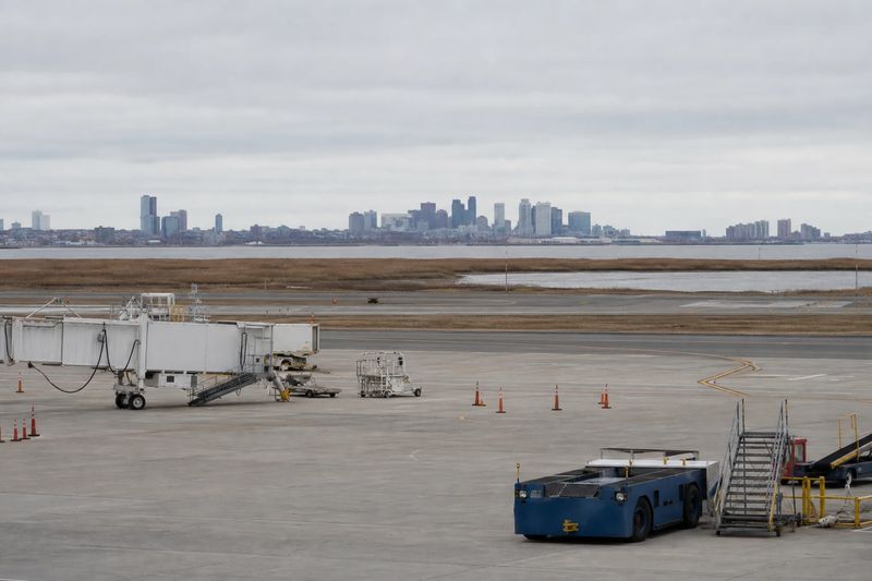
Newark Liberty International Airport (EWR) sits about 4 miles by road from downtown Newark, NJ — roughly 8 min of driving, or 3.0 miles in a straight line.
Newark Liberty is in New Jersey, minutes from downtown Newark, and it is also one of the three major airports serving the wider New York area. Both of those things are true at once, and together they explain why the drive there is short on the map and unpredictable in practice.
Getting there by road
The airport occupies a large site straddling the Newark and Elizabeth boundary, on the flat industrial ground beside Newark Bay. Downtown Newark is very close. Manhattan is a different matter — near in distance, but on the other side of the Hudson, which is the single biggest variable in any drive from the city.
A large share of the airport’s passengers are traveling to or from New York rather than New Jersey. That is worth knowing as a driver, because it means the terminals are busy on a New York schedule, and the access roads carry local traffic and cross-Hudson traffic in the same lanes.
The New Jersey Turnpike runs along the western edge of the airport and has its own signed airport interchange. For most drivers coming from any distance, that is the approach. US 1 and 9 run along the eastern side and serve as the local route and the fallback. I-78 links the airport area toward Jersey City and the Holland Tunnel, and the Garden State Parkway is the north-south alternative further inland.
From New York, the choice is between the two Hudson tunnels and, from Staten Island, the bridge crossings into New Jersey. All are tolled and all are capable of adding a great deal of time without notice. It is very common for the crossing to take longer than the rest of the drive combined.
Tolls throughout the region are collected electronically, from a transponder or from the plate. In your own car that is invisible. In a rental it is not, because the company will usually add an administration fee per toll — and this is a region where a single airport run can generate several. Ask before you drive away.
If you are driving in the city as well as to the airport, the guide to driving in New York covers the bridges, the tunnels and the parking problem.
The terminals
There are three terminals, lettered A, B and C, arranged along a loop road. The approach signs are organized by terminal letter rather than by airline, so confirm which one you need before you reach the airport.
The loop means a mistake is fixable rather than fatal. It also means fixing it costs a full circuit, and during the evening departure peak that circuit is slow. Curbside is split between departures and arrivals by level, and choosing the wrong level is the other common error.
AirTrain, and what it connects
AirTrain Newark is the elevated train that ties the site together. It links the terminals to each other, to the parking areas, and to the airport’s station on the main railroad line that runs between New York and Philadelphia.
That railroad connection is the important one. It is what allows the airport to be reached directly by train from New York Penn Station, from Newark, and from much of New Jersey, without a car being involved at any point. For drivers, the relevant part is simpler: if you are parked in an outer lot, the AirTrain ride is part of your journey, and it is the step most often left out of the calculation.
Parking
There is parking close to the terminals and cheaper long-stay parking further out on the airport, connected by AirTrain. The arithmetic is the same as anywhere. Short trips justify the close options; anything approaching a week does not.
The one local wrinkle is that off-airport parking operators are numerous in this area, and the extra shuttle leg they involve is longer than the on-airport equivalent. That can still be the right choice for a long trip, but it is a different proposition from walking out of a garage. The loop signage separates short-term from long-term at the point where you have to commit, so knowing which one you want in advance is the difference between one pass and two.
The train alternative
For anyone traveling from Manhattan, Newark or along the Northeast Corridor without much luggage, the train is usually the better decision. It costs about the same in time as a good drive and far less than a bad one, and its principal virtue is that it is indifferent to what the tunnels are doing.
Where the train stops making sense is early departures with checked bags and a family, or trips starting somewhere the rail network does not usefully reach — which describes a lot of northern and western New Jersey.
Driving in from further out
Newark draws from the whole of northern New Jersey, from Staten Island, and from parts of Pennsylvania and New York State. Philadelphia and Trenton are straightforward runs up the Turnpike. The Lehigh Valley and Allentown come across I-78. The Hudson Valley comes down the Parkway or the Thruway.
The awkward directions are the ones that require crossing the city or the river: Long Island, Westchester and Connecticut are all closer to Newark in miles than the drive time suggests, because the crossing dominates. If you have a genuine choice between the three New York area airports, that geometry usually decides it. The other airport guides cover the alternatives.
Driving to EWR from nearby cities
Estimated road distances and drive times to the terminal area. Add your own margin for parking, the shuttle and check-in — these figures cover the drive only.
| From | Distance | Drive time |
|---|---|---|
| Newark, NJ (downtown) | 4 mi | 8 min |
| Elizabeth, NJ | 4 mi | 8 min |
| Bayonne, NJ | 4 mi | 9 min |
| Irvington, NJ | 6 mi | 12 min |
| Union, NJ | 7 mi | 14 min |
| Jersey City, NJ | 7 mi | 15 min |
| Kearny, NJ | 7 mi | 15 min |
| East Orange, NJ | 7 mi | 15 min |
| Linden, NJ | 9 mi | 17 min |
Every figure here is an estimated road distance, worked out the same way as the rest of the site — how the estimate works. Distances in kilometers: downtown Newark, NJ is about 7 km away.